N. Sukumar, APSA
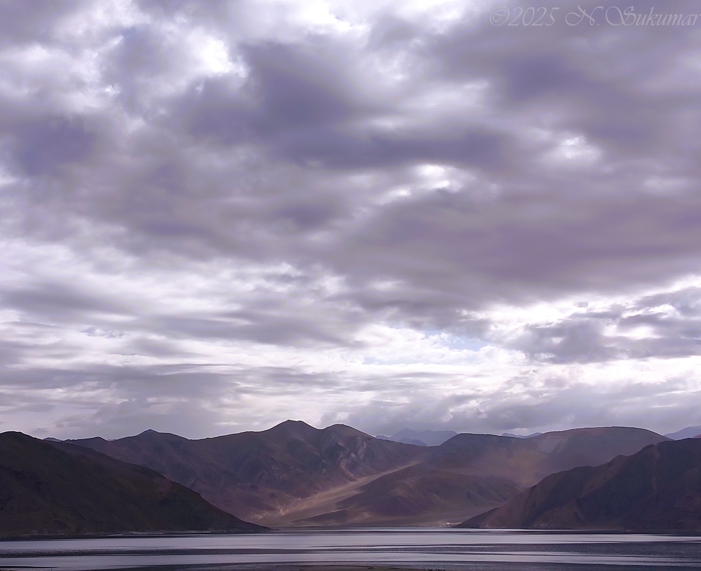
November 2025 - Pangong Tso at dawn
About the Image(s)
Pangong lake, a 134 km (83 mile) long, 699.3 km? lake, at an elevation of 4279 m (14,263'), is one of the highest brackish water lakes in the world. Spanning eastern Ladakh and western Tibet, it straddles the Line of Actual Control (LAC) between India and China, with approximately 25 km (the western end) of the lake under Indian and the rest under Chinese control. It is called the Line of Actual Control since India and China have no mutually recognized border between them, and large tracts along this line are claimed by both India and China. Armed with rocks and clubs (rules of engagement forbade the use of firearms), Chinese and Indian troops engaged in "skirmishes" here in 2020, leading nevertheless to several death on both sides, before pulling back. Since then, there has been a tense stand-off between the armies, punctuated by ongoing talks between the commanders, but with no signs of resolution of the territorial dispute.
While there is no permanent civilian presence here, the Indian side has become a popular, if off-beat, tourist destination; and the hundreds of makeshift cabins here are off the electric grid. This image was photographed at dawn on an overcast day, with my Vivo V23e 5G phone @ 4 mm, f/1.8, 1/1429 sec. ISO: 100.