Don Stouder
May 2021 - The Coast of Palos Verdes
Original
About the Image(s)
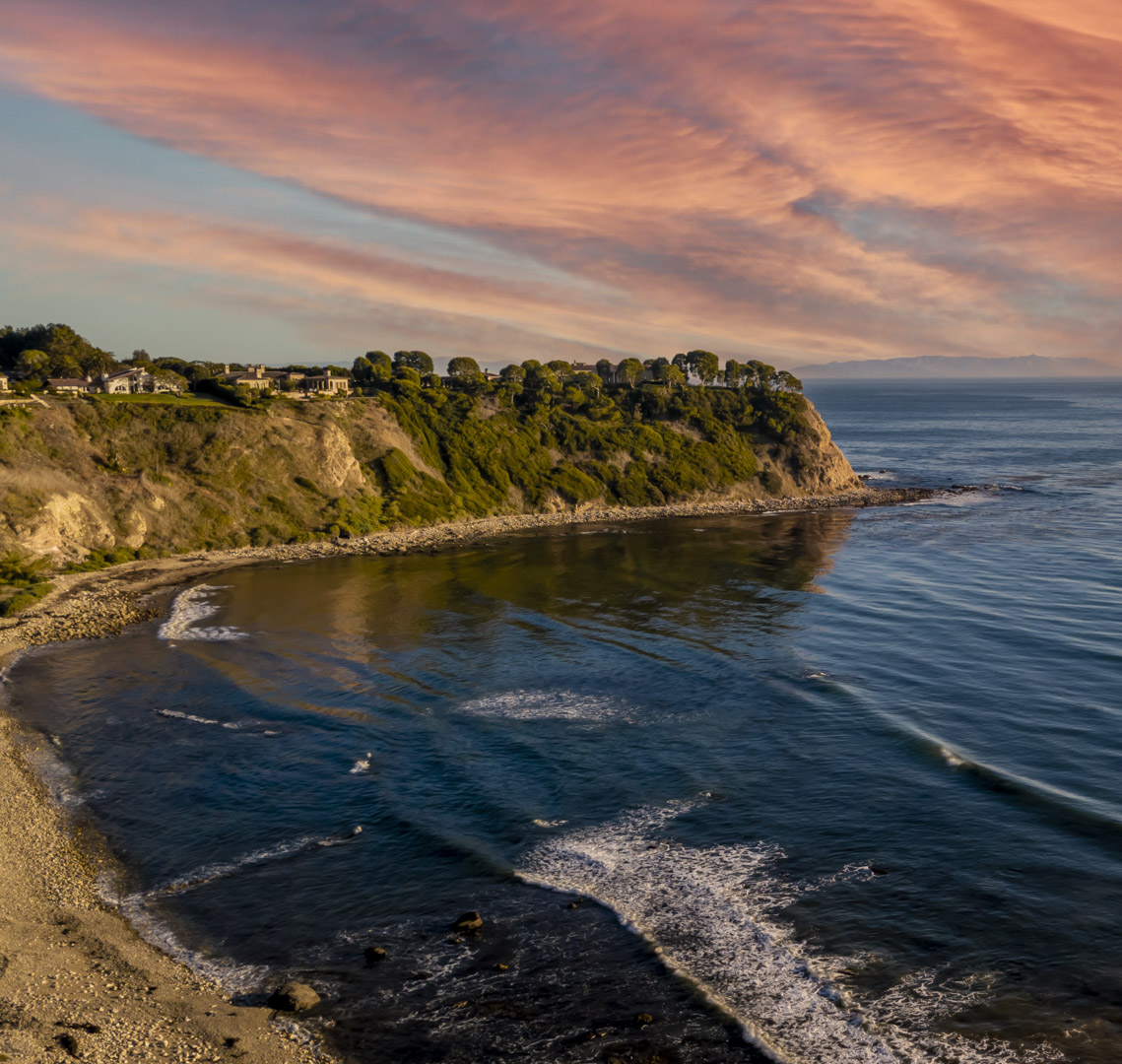
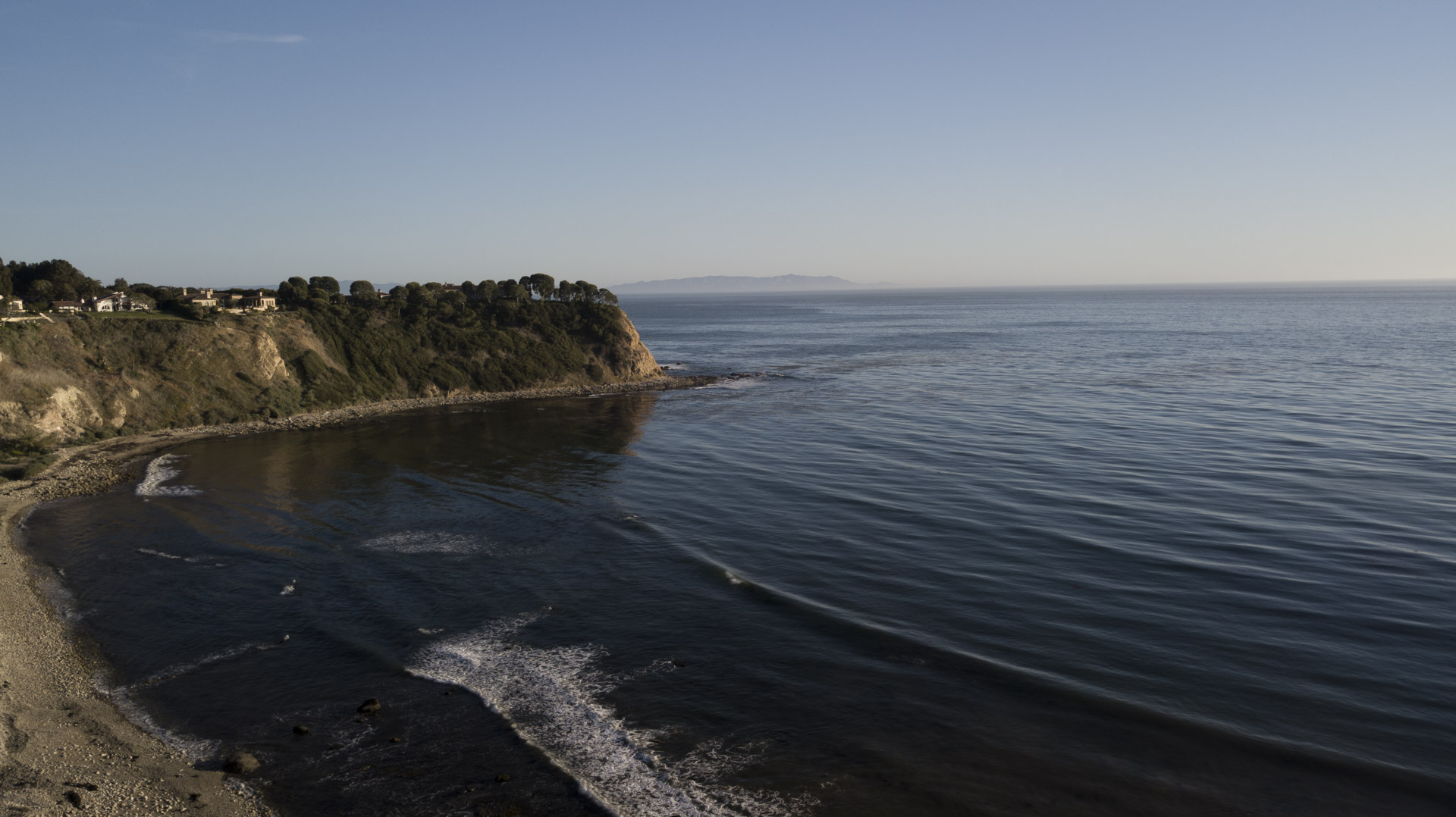
The photo was taking at one of my favorite flying spots, off the coast of Palos Verdes in Southern Ca. In fact it is very similar to a shot I posted earlier. But the basic lighting was different this time. It was shot as the sun was beginning to go down. Also, my editing in Lightroom/Photoshop was different. In this version I converted the landscape mode to near square aspect ratio to give it a different look. I also used Photoshop’s Replace Sky Command.
The image was taken using an ISO 100, the Mavic Pro’s fixed 26 mm (35 mm equivalent) f/2.2 lens, with an Exposure Bias of +7/10. The drone was positioned over the ocean about 20-30 feet above the cliffs, and its altitude registered -68.1 feet, which I do not totally understand. I suspect that it has something to do with how it will react to a RTH command, so it does not crash into the cliffs.
This round’s discussion is now closed!
5 comments posted
I wonder why the altitude registered that way. I never trust my return to home command. The one time I used it, the drone flew away and landed on top of a building, so now I'm scared. Posted: 05/19/2021 09:50:31