Sanat Kumar Karmakar
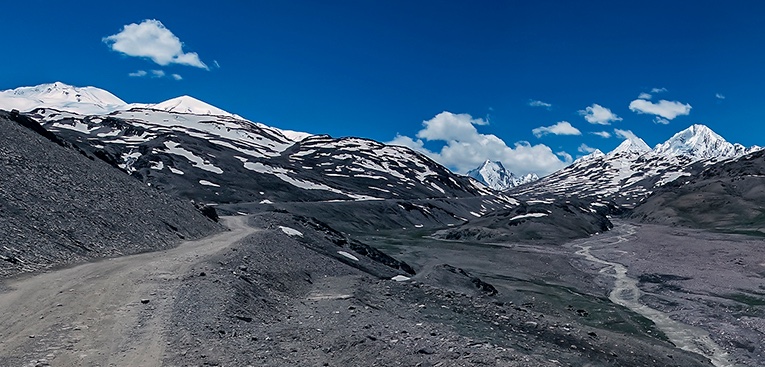
May 2022 - ROAD LEADS TO KUNZUM PASS
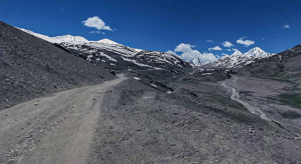
Original
About the Image(s)
Date of exposure: 22/06/2010 11:55 hrs.
Subject : LOSAR TO KUNZUM PASS BESIED CHANDRA RIVER
Title: ROAD LEADS TO KUNZUM PASS
camera: Canon gear
Focal Length: f1/5, Exposure 1/250s, ISO 80, Focal length 7 mm, metering pattern
Location: LOSAR TO KUNZUM PASS BESIED CHANDRA RIVER (SPITI DIST. OF HIMACHAL PRADESH, INDIA)
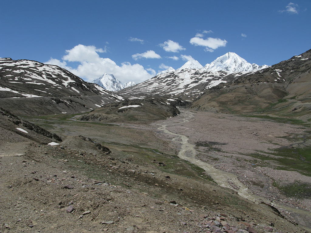
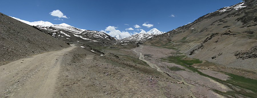
Kunzum Pass, is a high mountain pass in the eastern Kunzum Range of the Himalayas. It connects Lahaul valley and Spiti valley. It is on the route from Gramphoo in Lahaul to Kaza the subdivisional headquarters of Spiti. Kunzum Pass is 122 km from Manali, and 79 km from Kaza. drivers. On the Kaza side, the road from the small town of Losar runs on the right bank of a tributary of the Spiti. It climbs through a dry, semi-desert landscape 22 km up to the Kunzum Pass.
Editing: I used PS CS 2021 to edit the frame, by a desktop computer. I used adobe camera raw 14.1 filters for editing the image; a cropped panoramic view (three shots), enhanced shadow details, color and exposure.
This round’s discussion is now closed!
8 comments posted
the valley region which also shows you the river leading you
again into the mountains. The original photo does not show the road on left? I would probably crop a little more in the lower road area foreground. Posted: 05/05/2022 10:53:57
In fact, it is a stitching of three digital files thru PS21 and then cropped to finalise the above view. I am attaching the original panorama file for your convient. It was a jeep safari, when we first observed the mountain view, we stopped the jeep and took plenty of shots to capture the environment.
Thank you for your observation and comments. Posted: 05/05/2022 23:27:42
(Group 80)